English
Gaeilge
How Digital Twin Technology could help protect Ireland’s coastlines from erosion
How researchers at Atlantic Technological University (ATU) are creating living replicas of our coastlines to predict erosion
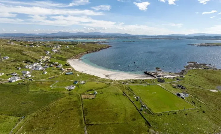
Across the world, coastlines are rapidly changing.
Rising sea levels and stronger storms are accelerating erosion, flooding communities and reshaping ecosystems. What was once a slow, natural process is now happening at an unprecedented pace.
For PhD researcher Kathy Bannigan at ATU, this urgency is central to her work:
Coastal erosion poses serious challenges, from infrastructure damage of our roads and beach walkways to farmland loss. Monitoring and predicting coastal change are critical if we want to protect these environments”.
Globally, the population residing in near-coastal zones has risen from 1.2 billion in 1990 to 2.15 billion in 2020, accounting for 23% and 27% of the world population.
Rapidly retreating cliffs along the Atlantic coast have caused the collapse of buildings and roads, illustrating the severe socio-economic consequences of this phenomenon.
As beaches shift, cliffs crumble, sediments travel, tides rise and fall, the shoreline is not a fixed line on a map. It is a constantly moving system.
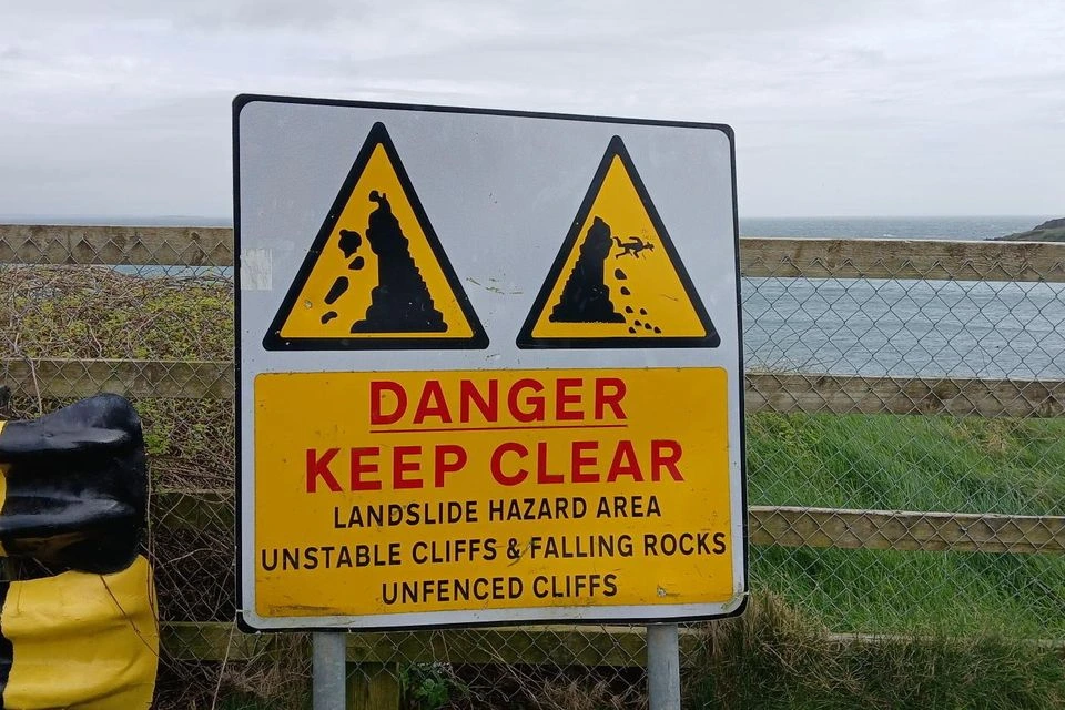
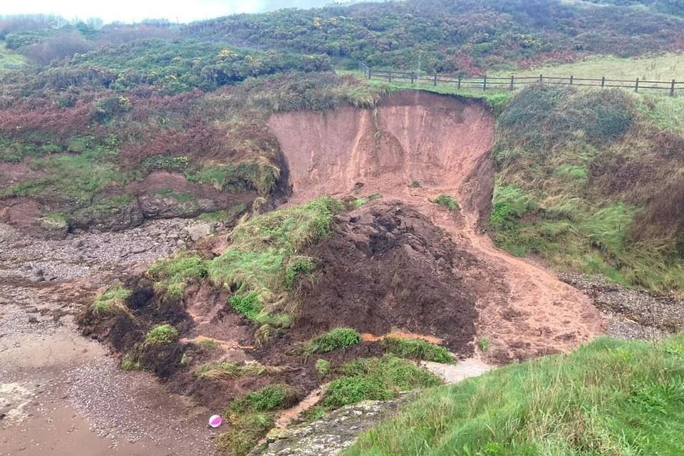
Now, scientists are seeking ways to monitor and predict these changes more effectively.
Imagine creating a virtual copy of a coastline that updates continuously with real-world data and simulates how the shoreline may evolve years into the future. This is the promise of a digital twin.
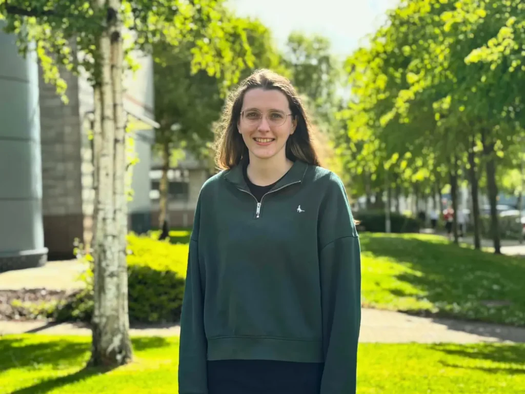
A digital twin isn’t just a map or a snapshot. It’s a dynamic, multimodal modelling framework that integrates satellite imagery, drone data, and in-situ sensor measurements. It simulates and represents the evolving coastline as conditions change.”
As a result, scientists can explore how coastlines respond to storms, tides, sediment movement, and human interventions under a wide range of possible future conditions.
Kathy’s work focuses on developing predictive AI models that analyse satellite imagery of coastlines to detect and forecast shoreline changes.
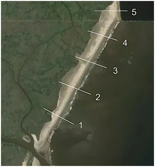
Her recently published research demonstrates the significant impact of this approach: shoreline detection accuracy improved from approximately 78% to over 90%, and with advanced data augmentation techniques, reached 98.46%.
“That level of improvement shows how powerful targeted data augmentation and spatial awareness can be for environmental monitoring”, shares Kathy.
It can also benefit from generative AI techniques to simulate complex coastal scenarios where observational data is limited or difficult to obtain, enabling a form of soft sensing to infer missing or unmeasured environmental variables.
Her research also explores the use of diffusion models to support generative simulation and data-driven reconstruction of coastal environments, particularly in cases where observations are incomplete, enabling soft sensing of environmental conditions that are difficult or impossible to measure directly.
One of the most powerful uses of digital twins is the ability to test solutions before building them in the real world.
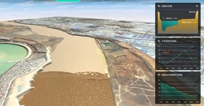
“Digital twins allow us to test scenarios that would be impossible or too costly to study in the real world,” she explains. “We can explore how coastlines might evolve decades into the future and support evidence-based decision-making for coastal policy and planning.”
Lead supervisor and lecturer in Computer Science, Dr Shagufta Henna said:
Digital twins have the potential to transform coastal management by enabling a shift from reactive response to proactive, evidence-based planning”.
“AI-driven simulation, they could significantly enhance the reliability of soft sensing approaches, particularly in regions where physical sensing infrastructure is limited or unavailable”, she added.
This growing role for digital twins reflects a wider shift in how coastal research where advanced modelling and AI-driven simulation are increasingly shaping real-world decision-making.
Instead of responding after storm damage has occurred, planners can anticipate change and act earlier. Local authorities, engineers and policymakers can test strategies, compare outcomes and make more informed choices.
“This capability offers a scalable foundation for informed policy development, climate adaptation strategies, and investment decisions, supporting more resilient coastal and environmental management at national and regional levels”, notes Dr Shagufta Henna.
A small loss of beach width at one location may seem minor. However, when similar trends observed across an entire coastline, they can indicate broader systemic retreat, with significant implications for tourism, fisheries, transport networks, and coastal settlements.
“A structure that protects one area might increase erosion somewhere else,” Kathy explains. “Digital twins let us explore those outcomes before making expensive real-world decisions.”
Digital twins offer a new paradigm for coastal risk assessment and management.
For communities, this could enable more effective flood risk planning, greater infrastructure resilience, and more sustainable coastal development strategies.
There are still challenges. Digital twins depend on large volumes of high-quality data, and modelling natural systems remains complex. But advances in remote sensing and machine learning are rapidly expanding the capabilities and reliability of these systems.
For Kathy, the goal is simple but powerful:
“The better we understand how coastlines behave, the better prepared we are to protect communities, ecosystems and future generations.”
This research is funded under RISE@ATU with supervision by Dr Shagufta Henna, Dr Stephen Seawright and Dr Salem Gharbia. RISE@ATU is co-funded by the Government of Ireland and the European Union through the ERDF Northern and Western Regional Programme 2021-27.
About Kathy Bannigan
Kathy Bannigan is a PhD student in the Department of Computing at Atlantic Technological University (ATU). Her PhD research, titled “Enhancing Coastal Resilience: A Digital Twin Approach to Contrastive Graph Generative Models for Coastal Protection”, uses remote sensing data to predict future shoreline changes and associated risks. The work also explores soft sensing through diffusion-based generative models to infer missing or unobservable coastal variables, enabling more complete environmental representations in data-scarce regions. In addition, it incorporates counterfactual explainable AI to simulate alternative coastal decision-making scenarios, supporting a deeper understanding of how different interventions may influence long-term shoreline evolution and thereby promoting more sustainable and evidence-based coastal protection strategies.
For media enquiries, contact:
Jorden McMenamin
Communications Officer
Tel: 074 918 6127
E: jorden.mcmenamin@atu.ie